Simulating capability to reduce transport energy emissions and associated social vulnerabilities
Developed a microsimulation at the household and individual level using a Monte Carlo Sampling process in R to analyse travel behaviour and transport demand in England.
Project overview
There is a policy gap between emitted emissions in the transport sector and targets the government has set – consequently current policies are not enough. There is too much focus on supply when surface transport demand needs to be tackled too.
The aim of the project was to simulate using the Monte Carlo sampling process what types of trips transport users in England take in a car, either as the driver or a passenger, and how far do they travel for the trip. This will help to identify spatially differences between areas in terms of where there is more demand for car transport for different types of trips. The results will be plotted in a digestible visual format to make it easier for policymakers to interpret the information.
Data and methods
We used anonymised data from the English National Travel Survey (NTS) which is conducted yearly and asks respondents to record a travel diary about the trips they took during a 7-day period. From the surveys completed in 2015, 2016 and 2017, we specifically wanted to look at the variation of trips survey respondents completed by car and how far they travelled for these trips. Using this data, probability distribution tables of trip purpose and distance were formulated with the following constraints: Age, Sex, NSSEC, Region and ONS Urban Rural Classification.
To create a synthetic population, the programme SPENSER, developed by Dr Nik Lomax, was utilised. This dynamic microsimulation model projects future UK populations at household and individual level using the 2011 census. We only simulated those who are aged 17 or above as they can legally drive in the UK, and those who live in England: this equated to approximately 43 million individuals in the synthetic population for the year 2017.
In the programme R, we joined the NTS constraint tables to the SPENSER population, so everyone in the population has a travel behaviour probability distribution. As a result, the Monte Carlo sampling process was applied to estimate yearly individual car kilometres travelled within English LSOAs for different trip purposes.
Key findings
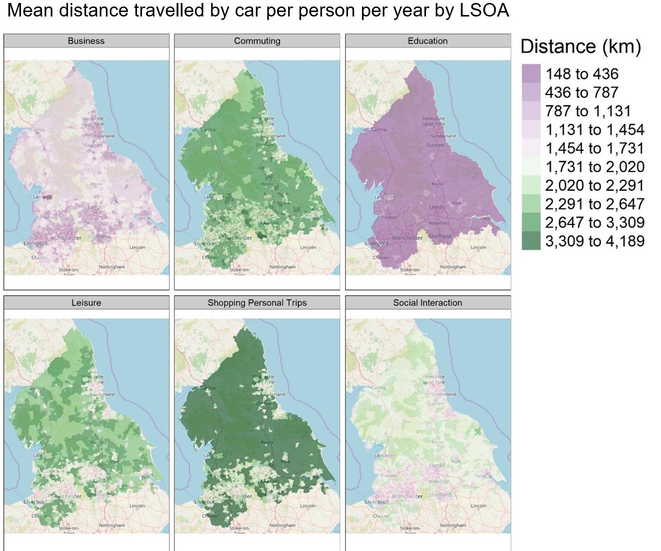
Commuting distances dominate current research about car travel demand. This research offers a novel way to gain new insights about travel distances by car for other purpose types namely leisure, social interaction, shopping and person trips. Interactive HTML maps were plotted in R to show the mean distance travelled by car per person per year by LSOA for each of the trip purposes simulated; see below for the north of England.
It was found that there are area differences in the distance travelled for a trip purpose based on the demographic of the area. For example, the urban-rural variation in education trip distance is small, in contrast to other purposes where there is considerable urban-rural variation.
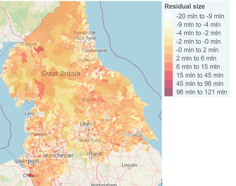
We validated the results against estimates of total private car km travelled per person using 2011 and 2014 vehicle ownership data. This demonstrated the effectiveness of the spatial microsimulation just using the base population and the NTS data. We found that the microsimulation results yielded well for residential areas.
Value of the research
We investigated the potential for using a spatial microsimulation approach to generate small area estimates of car travel demand by purpose. However, these estimates are not frequently visualised and shared with policymakers, planners and other stakeholders. By creating maps of car demand, it will help policymakers assess which policies will have the greatest effect in a defined area. It will provide urgently needed insights to policymakers aiming to identify decarbonisation solutions for specific locations. Demand for transport will only continue to increase. We need policymakers to incorporate travel demand reduction policies for the UK to mitigate and combat the effects of climate change.
Insights
- Reducing car km travelled is an important strategy to achieve the goal of transport CO2
- A microsimulation at the household and the individual level using travel survey data with a synthetic population, created by SPENSER, produced promising small area (LSOA) estimates of car travel behaviour.
- Employing a range of spatial data visualisation techniques is valuable to communicate and contextualise car travel demand to policy stakeholders.
People
Claire Shadbolt, LIDA Intern
Dr Ian Philips, Senior Research Fellow (ESRC Fellowship), Institute for Transport Studies.