OpenStreetMap Active Travel Mapathon
By Greta Timaite
How and why it all started
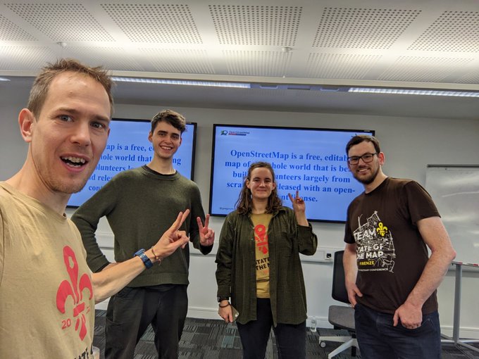
Back in August 2022, James, Robin and I attended the State of the Map, a conference for OpenStreetMap (OSM) mappers and users. We were accepted to present our work on OpenInfra project as well as run a workshop on getting started with OSM for sustainable transport. There we met Gregory, a founding member of OSMUK and a generally cool mapper, and as we were talking all-things-OSM, an idea emerged – we should organise a mapathon!
Mapathons and mapping parties, or coordinated mapping events, are nothing new to the OSM community. After all, OSM is based on community and local knowledge that informs mapping. However, drawing on our research, we wanted our mapathon to focus on mapping acting travel infrastructure (walking, wheeling, and cycling) as we found that such data, especially accessibility-related, is lacking .
Moreover, we realised that a mapathon would be a fantastic opportunity for us to show our appreciation by giving back to the community and we could create a welcoming space for others to get involved. As researchers, we were using, examining, and critiquing OSM data as part of our project. So, it felt right to step into mapper’s shoes to contribute to a change by generating data that could be used to inform data-driven decision-making for active travel infrastructure.
On the day of the mapathon
After several meetings and numerous email exchanges trying to figure out how to run a mapathon, it finally took place on the 31st of October. It was supported by Leeds Institute for Data Analytics (LIDA) that, as Gregory noted based on his experience organizing mapathons, eased the processes of organisation as it eliminated some of the pain points, such as searching for a venue. On the day, we were glad to see some familiar and many less-familiar faces, including the representatives from the NHS, DfT, and the Inclusive Public Spaces project. It was great to learn about the potential of OSM they see in their respective works.
The day itself started with a quick icebreaker initiated by Robin and two short presentations. Gregory gave a presentation on OSM, its history, and a personal account on how he started mapping. Robin discussed OSM in the context of OpenInfra project and active travel more broadly. Then a quick demo of how to use OSM mapping apps on both Android and iOS was delivered by Gregory and James. After that the “formal” part ended and the fun was soon to begin – fieldwork!
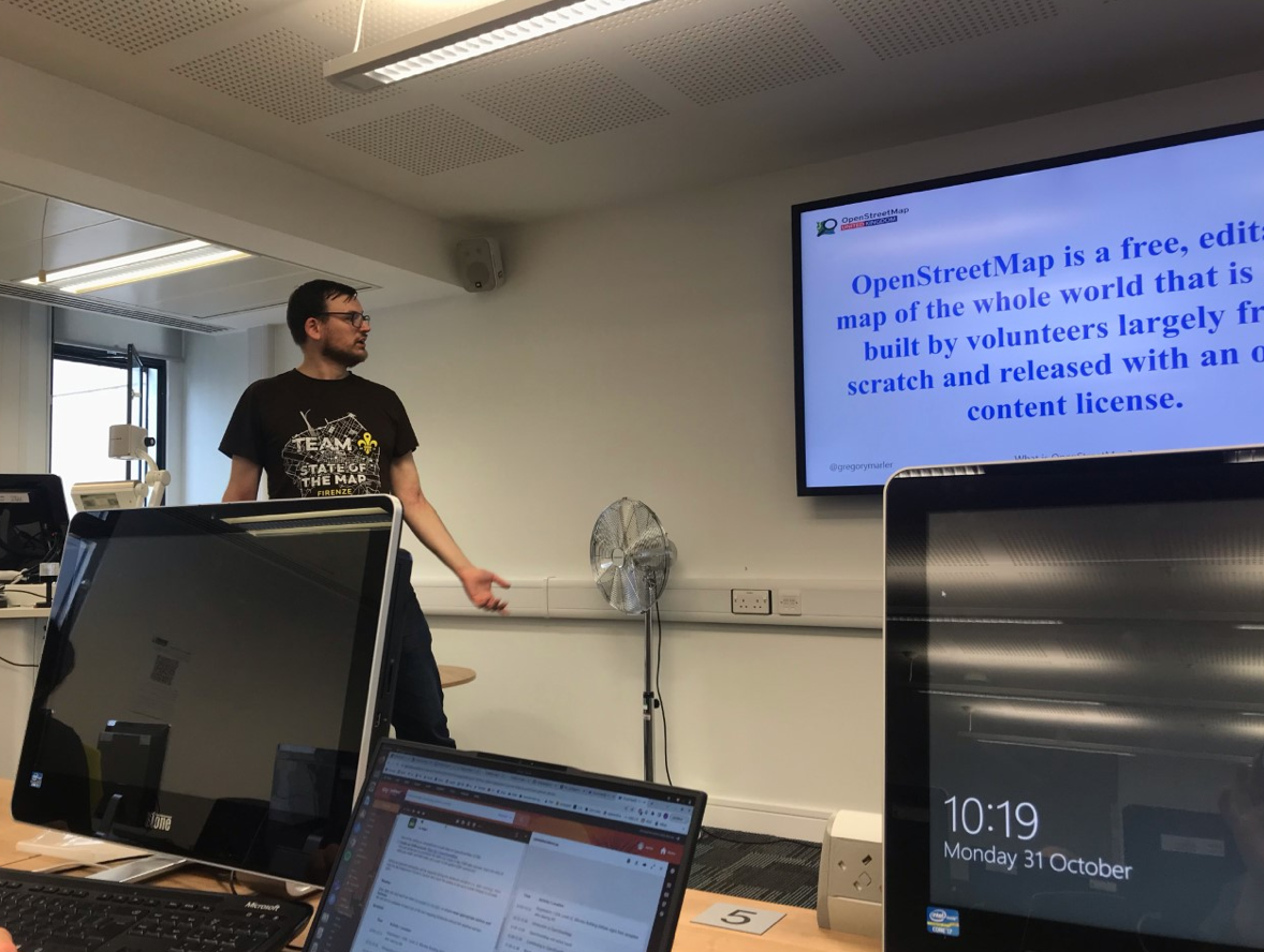
Gregory giving a presentation on OSM
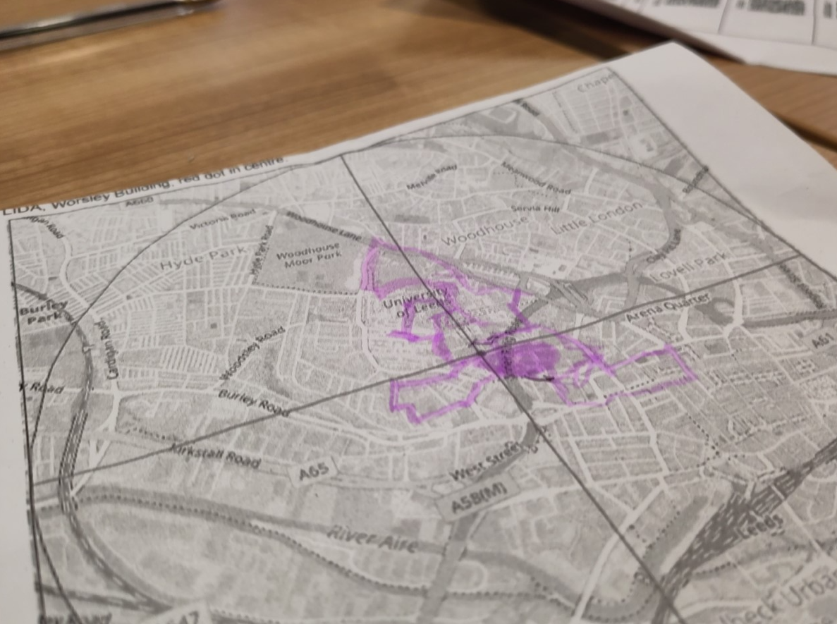
A map used for the fieldwork
For the fieldwork we scheduled two 45-minute sessions. The participants were grouped into 4 teams – one for each organiser – and the area around LIDA’s Worlsey building was split into four equal parts (aka “cake diagram” ) to avoid overlapping. Mapping can be a tiring, but fun, activity, so a lunch break (food provided!) was scheduled between the trips. Plus, we wanted people to get together to network and have a chat before embarking on a second mapping journey.
We did not set any measurable mapping goals as that was not the goal of the event. Instead, all of us were learning to navigate the mapping apps, familiarizing ourselves with, and explaining OSM keys and values (a task mostly done by the organisers) and, most importantly, engaging in discussions: how could or should it be mapped? What is the value of mapping this object? In some cases, conversations focused on technical aspects of mapping, such as junctions with multiple traffic lights and pedestrian islands and measuring widths with a laser measure!
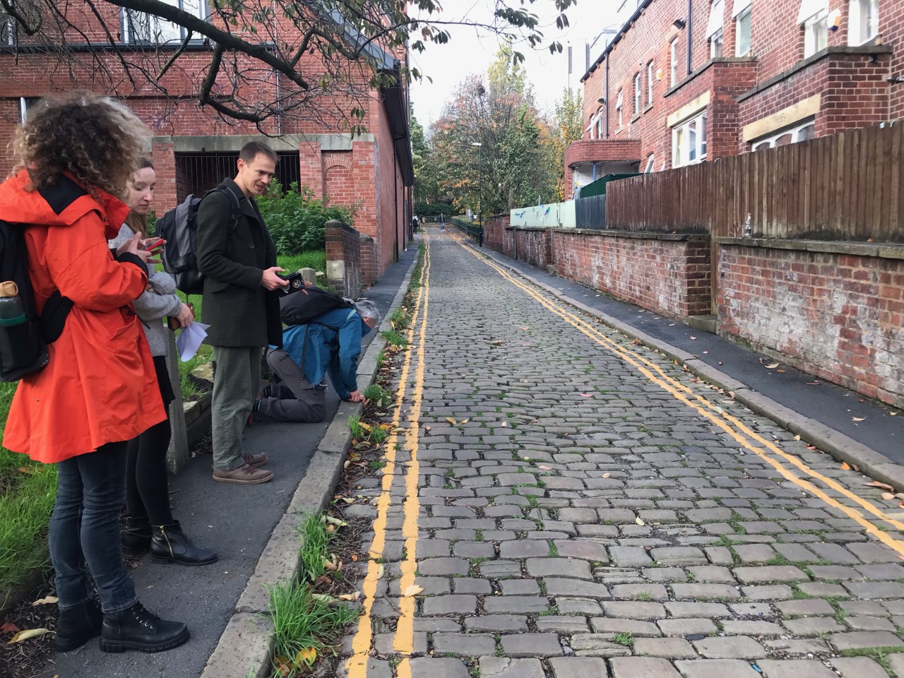
Moment from the fieldwork: participant measuring width with laser measure
In other instances, participants shared their expertise while mapping. For example, Morgan, a representative for the Inclusive Public Spaces, spoke about spaces that may initially seem accessible to all pedestrians but in reality, exclude people with certain impairments, such as wheelchair users. Moreover, a lack of robust mechanisms to report such experiences can be a source of great frustration. Morgan mused that perhaps OSM, and mapping more generally, could help to address some of that frustration and give more agency to the community by raising awareness of (in)accessible spaces. This reflection aligns with OpenInfra’s as we, too, think that OSM might further localised decision-making in which communities and their needs play a central role1.
What’s next?
Will we organise some more? The interest and further engagement taking place on Twitter is really inspiring and motivating. Indeed, there is much work that can be done with and for OSM in the active travel space. One of them was illustrated by Morgan; another one can be linked to the OpenInfra project itself, which officially ended in September, but its goals and aspirations remain and will be embedded and reflected in our further work. Perhaps in the form of another mapathon too.
Acknowledgements:
The organisers want to thank the Inclusive Public Spaces project for bringing in the voice of the disability community into the mapathon. It made it richer.
The mapathon was financially supported by the Leeds Institute for Data Analytics.
Organisers:
Robin Lovelace, Gregory Marler (his blog post on the mapathon), James Hulse, and Greta Timaite